Precision Land Levelling
Satellite-guided accuracy for farms across India, Africa, the Middle East and South America
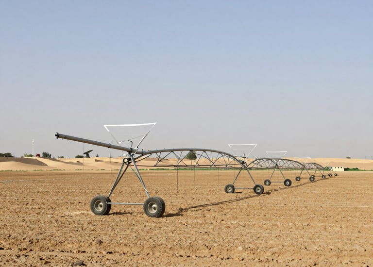
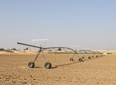
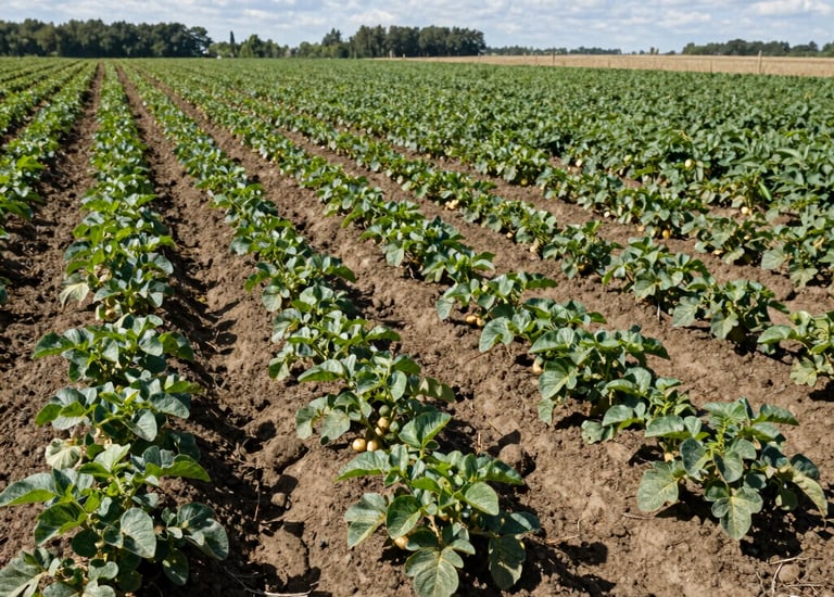
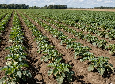
GPS/GNSS land levelling uses satellite‑based positioning to create a flat, uniform field surface. Works without line‑of‑sight, supports long distances, and improves irrigation efficiency, crop uniformity, and operational productivity.


What GPS/GNSS Land Levelling Means
Advantages Over Traditional and Laser Systems
Satellite‑guided accuracy on all field sizes
No laser transmitter needed
Reliable in dust, fog, and long‑range conditions
Lower diesel and labour use
Consistent results across soil types and terrains
Ideal for contractors managing multiple regions
Our Services
Precision GPS/GNSS land levelling tailored for farms worldwide.


India Farms
Paddy, wheat, and sugarcane land levelling.


Africa Farms
Large farms and irrigation projects supported.
Middle East
Horticulture and precision irrigation setup.
Global Ops
Scalable levelling for international contractors.
Stay Updated
Subscribe for the latest in GPS land levelling
© 2025. All rights reserved.